 vesseltracker.com
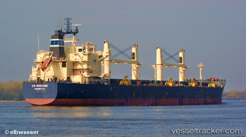
Vessel PRINCESS MARIA IMO: 9483188, MMSI: 538009344 Bulk Carrier
UTC, 50.00360, -2.87408, course: 250, speed: 10.5
UTC, 49.95347, -3.12904, course: 245, speed: 8.4
2026-02-07 07:22:07 UTC, 49.83687, -3.45179, course: 237, speed: 6.8
Live AIS position:
UTC. 26 nm SE of Bolt Head),
updated 2026-02-07 07:22:07 UTC.
Find the position of the vessel PRINCESS MARIA on the map. The latter are known coordinates and path.
marine traffic ship tracker show on live map
The current position of vessel PRINCESS MARIA is 49.83687 lat / -3.45179 lng. Updated: 2026-02-07 07:22:07 UTCCurrently sailing under the flag of Marshall Islands
PRINCESS MARIA built in 2009 year
Deadweight:
55783 tDetails:
Last coordinates of the vessel:
UTC, 50.14833, -2.15833, course: -1, speed: 9UTC, 50.00360, -2.87408, course: 250, speed: 10.5
UTC, 49.95347, -3.12904, course: 245, speed: 8.4
2026-02-07 07:22:07 UTC, 49.83687, -3.45179, course: 237, speed: 6.8